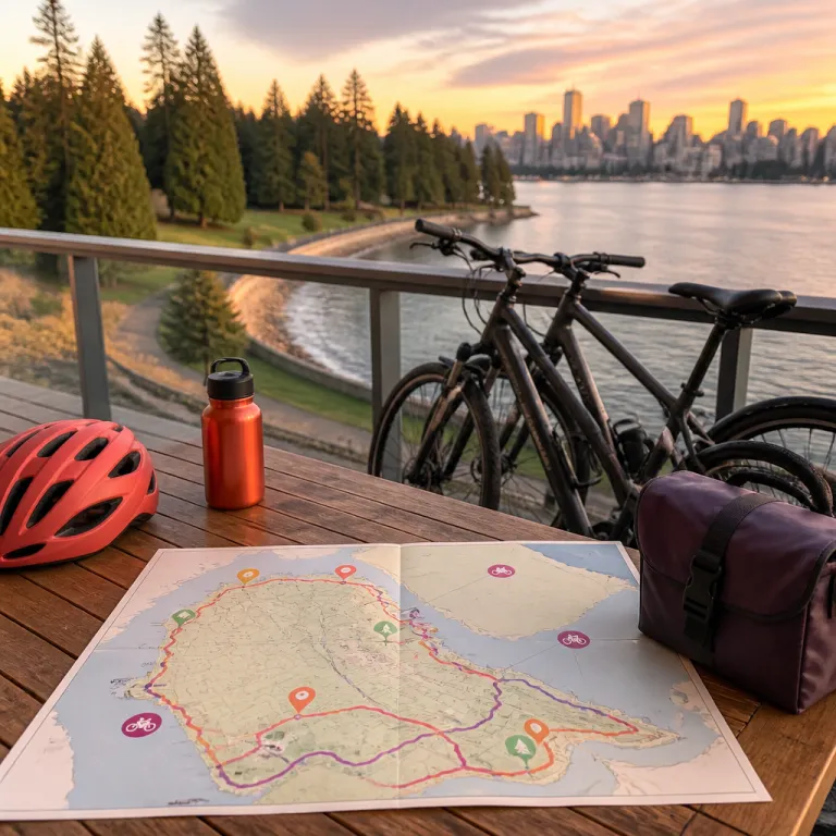
Why hotel guests should care about the Stanley Park Vancouver bike route map
Staying in central Vancouver places you within easy reach of Stanley Park and its legendary Seawall. For many travellers the Stanley Park Vancouver bike route map quietly becomes as essential as a room key because it shapes how you experience the park, the city and even your choice of hotel. When you understand how the park, the Seawall and the surrounding streets connect, you can choose a stay that turns every ride into a refined part of your Vancouver story.
Stanley Park sits at the edge of downtown Vancouver in British Columbia, Canada and its 9.4 kilometre park Seawall loop is one of the most celebrated urban cycling circuits in the world. Hotels near the park bike access points on Denman Street, Georgia Street and the Coal Harbour waterfront give you a direct line to the Seawall bike lanes, which means you spend more time biking and less time navigating traffic. When you study a detailed bike route map before booking, you can match your preferred ride length, beach stops and viewpoints with the neighbourhood that suits your travel style.
Many visitors arrive imagining only a simple bike path around the water. The reality is a network of bike trails, forest paths and quiet streets that link Stanley Park with English Bay, Granville Island and even the Lions Gate Bridge area, so the right map helps you plan both short rides and full day excursions. If you are biking Stanley Park for the first time, a clear route overview also helps you decide whether you want on site bike rentals near the park entrance or a hotel that offers its own bikes for guests. That level of planning may sound meticulous, yet it is exactly what turns a casual ride into one of the best memories of your stay.
Reading the Stanley Park Seawall bike loop from your hotel
The classic ride follows the one way Seawall bike loop that circles Stanley Park counter clockwise from Coal Harbour to English Bay. When you look at a Stanley Park Vancouver bike route map from your hotel desk, you will see the Seawall bike path hugging the shoreline while interior bike trails weave through towering cedar and fir trees. Understanding how these paths intersect lets you design a route that balances ocean views, forest shade and convenient exits back to your room.
Starting near the Vancouver Convention Centre or Coal Harbour hotels, you roll past the marina before reaching Brockton Point and its famous totem poles, which appear clearly on every good bike route map. From there the park Seawall curves towards the Brockton Point lighthouse, then continues beneath the dramatic span of the Lions Gate Bridge, sometimes called the gate bridge by visitors. This section feels particularly great at low tide when the views across Burrard Inlet open wide and the sound of bikes on the smooth path blends with waves against the rocks.
Beyond the bridge the Seawall bike route passes Siwash Rock, Second Beach and finally English Bay Beach, each marked as key points on official maps from the City of Vancouver. Hotels near English Bay offer an easy finish to the ride because you can step off the bike path straight into cafés, restaurants and sunset facing rooms. If you prefer a quieter end point, consider a stay closer to the West End’s tree lined streets, where a short ride along a signed bike trail returns you to a calm residential atmosphere.
Key viewpoints on the map: from Brockton Point to Prospect Point lighthouse
When you examine any detailed Stanley Park Vancouver bike route map, several names appear repeatedly because they anchor both navigation and scenery. Brockton Point, Prospect Point and the Prospect Point lighthouse area form a trio of highlights that help you structure your ride and your timing from the moment you leave your hotel. Treat these points as natural chapters in your day, each offering a different perspective on Vancouver, British Columbia and the surrounding water.
Brockton Point sits on the eastern tip of Stanley Park and is home to the celebrated totem poles, which are among the most visited attractions in Canada. The bike path widens here, allowing you to park bikes safely and walk among the carvings while reading about the Indigenous nations who created them. Because Brockton Point is relatively close to downtown hotels, it makes an ideal first stop for families or for guests who prefer a shorter ride before returning to their room.
Farther along the park Seawall, the climb towards Prospect Point rewards you with sweeping views of the Lions Gate Bridge and the North Shore mountains. Many riders lock their bikes near the viewpoint, then stroll to the Prospect Point café or the nearby point lighthouse lookouts for photographs and a rest. If you are planning your day from a hotel in Coal Harbour or near English Bay, use the bike route map to estimate riding time between these points so you can schedule meals, photo stops and perhaps a late afternoon drink back at your property without feeling rushed.
Choosing a hotel location with bike paths, rentals and safe access
For guests who intend to spend serious time biking Stanley Park, hotel location is not a minor detail. Properties near Denman Street, Robson Street and Georgia Street offer the most direct access to the park bike entrances and to several professional bike rentals. When you compare hotels, look at how many minutes it takes to reach the nearest bike path on a Stanley Park Vancouver bike route map rather than relying only on general distance claims.
The West End neighbourhood, bordering English Bay and Second Beach, is particularly convenient because you can roll from your lobby to the Seawall bike route in a matter of minutes. Many West End hotels work with nearby bike rental outlets close to the main park entrance, which means you can reserve bikes, helmets and even child seats at reception and have everything waiting near the park entrance. Coal Harbour hotels, by contrast, place you closer to the marina side of the park and offer a gentle, flat approach to the Seawall that suits less confident riders.
If you prefer to explore beyond Stanley Park, consider a downtown Vancouver hotel near protected bike lanes that lead towards Granville Island and the False Creek waterfront. From there you can link several bike trails into a full day ride that combines the park, the Seawall and the cultural scene around the public market. A good concierge will happily mark these extended routes on a printed map, ensuring you can ride from bridge to beach and back to your room without worrying about traffic heavy streets.
Planning your ride: timing, safety and seasonal nuances
Stanley Park and its Seawall remain open year round, which gives hotel guests remarkable flexibility in planning a ride. The best time for most visitors is usually a clear morning or late afternoon, when the light is soft and the bike path feels calmer. During peak summer weekends the park Seawall can become busy, so starting early from your hotel often means a more relaxed experience.
Safety is straightforward if you follow a few essential rules that appear on official maps and signage. Wear a helmet, follow posted signs, stay on designated paths and remember that the Seawall bike loop is one way for cyclists in a counter clockwise direction. When you rent bikes near the park entrance, staff will usually hand you a Stanley Park Vancouver bike route map and highlight restrooms, water fountains and cafés so you can plan breaks at logical points.
Weather in Vancouver, British Columbia can shift quickly, especially outside the warmest months, so check the forecast from your hotel before committing to a long bike trail. Light rain does not need to cancel your ride, but it does make wooden sections and painted surfaces on the bike path more slippery. If conditions look uncertain, ask your concierge to suggest a shorter route that still includes highlights such as Brockton Point, Siwash Rock or English Bay Beach while keeping you close to indoor options.
From Seawall loops to citywide rides: extending beyond Stanley Park
Once you feel comfortable with the Stanley Park Vancouver bike route map, it becomes a natural gateway to exploring the wider city from your hotel. The Seawall bike path connects seamlessly with routes along False Creek, leading towards Granville Island, Olympic Village and beyond. This means a single day can include forested park trails, urban waterfronts and lively markets without ever needing a car.
Many visitors start with a classic loop around Stanley Park, then follow the Seawall bike lanes past English Bay towards Kitsilano and the beaches on Vancouver’s west side. From there you can lock your bikes near Granville Island, enjoy the public market and galleries, then ride back along designated bike routes that return you to downtown hotels. Because these paths are mostly flat and separated from traffic, they suit a wide range of fitness levels and make cycling feel like an elegant extension of city sightseeing.
For guests staying several nights, consider alternating days between full park rides and shorter spins to specific viewpoints such as Prospect Point or the Lions Gate Bridge area. This approach keeps the experience fresh while allowing time to enjoy hotel amenities, spa treatments or fine dining in the evening. By the end of your stay you will likely know the curves of the park Seawall and the rhythm of the city’s bike network as well as many locals, which is a rare pleasure for any traveller.
Key figures and practical statistics for planning your rides
- The Seawall around Stanley Park is approximately 9.4 kilometres long, according to the City of Vancouver’s official park information, which allows most guests to complete the loop in 60 to 90 minutes at a relaxed pace.
- Stanley Park is accessible every day throughout all seasons, so hotel guests can plan cycling and walking routes year round rather than limiting rides to a short summer window.
- Numerous bike rental shops operate near the main park entrance on Denman Street, giving visitors a choice of standard bikes, e bikes and family friendly options within a few hundred metres of the Seawall.
- Restrooms are available at various points along the Seawall and near major landmarks such as Brockton Point, Second Beach and English Bay, and facilities at Prospect Point include washrooms and a seasonal café, which makes it easy to schedule breaks without leaving the park.
FAQ about the Stanley Park Vancouver bike route map for hotel guests
Where can I rent a bike near Stanley Park from my hotel
Numerous rental shops near the park entrance provide a wide range of bikes, including e bikes and children’s models. If you are staying in a downtown or West End hotel, staff can usually direct you to the closest bike rental within a short walk. Many properties also work with specific bike rentals partners and may offer discounts or pre arranged reservations.
Is the Seawall one way for cyclists and how does that affect my route
Is the Seawall one-way? Yes, counterclockwise for cyclists. This one way flow keeps the park bike lanes safer and more predictable, especially during busy periods. When you study a Stanley Park Vancouver bike route map, you will see arrows indicating the direction, so plan your starting point accordingly from your hotel.
Are there restrooms and food options along the bike path
There are restrooms at several points along the Seawall and near major beaches such as Second Beach and English Bay. You will also find cafés and kiosks near Brockton Point, Prospect Point and the main beach areas, which are all marked on most printed maps. Many hotel guests plan snack or coffee stops at these locations to break up the ride.
How long does it take to bike the full Stanley Park Seawall loop
Most visitors complete the 9.4 kilometre Seawall loop in about one to one and a half hours at a comfortable pace. If you plan to stop frequently at viewpoints, totem poles or beaches, allow two to three hours from the moment you leave your hotel. Families with young children or guests taking many photographs may wish to reserve half a day.
What is the best season and time of day to ride from my hotel
The loop is rideable in every season, but late spring to early autumn usually offers the most pleasant conditions. Early mornings and late afternoons tend to be quieter on the bike path and provide softer light for views of the bridge, the city skyline and the mountains. During peak summer weekends, starting your ride earlier from the hotel helps you avoid the busiest crowds on the park Seawall.
Trusted references for further planning
City of Vancouver Parks and Recreation, Destination British Columbia, Tourism Vancouver and the official Stanley Park Seawall map from the City of Vancouver provide reliable, up to date details for planning your ride.
